
The Algarve is organised into three coastal strips: the Barlavento to the west (golden cliffs, from Sagres to Albufeira), the Centro or Golden Triangle (Vilamoura, Quinta do Lago, Vale do Lobo) and the Sotavento to the east (warm sea and the barrier islands of the Ria Formosa, from Faro to Vila Real de Santo António). It's 14 municipalities and around 5,000 km² in the far south of Portugal, with Faro Airport as the gateway and the reference point for measuring distances.
Knowing how to read this map settles the first decision for anyone planning a holiday: which area to stay in. The right home in Tavira (sea at 22–25 °C) or in Lagos (cliffs and caves) depends a great deal on where each town sits on this board.
Where is the Algarve and how is it divided on the map?
The Algarve is the southernmost region of mainland Portugal, facing the Atlantic Ocean, and takes up the entire district of Faro. On the map, it reads in three coastal strips from west to east: Barlavento (the western side, from Cabo de São Vicente to near Albufeira), Centro (the tourist core around Albufeira, Loulé and Lagoa) and Sotavento (the eastern side, from Faro to the Spanish border on the Guadiana river). These strips aren't administrative divisions — they're the most useful way to organise the coast, because each has its own kind of beach, sea and atmosphere.
Beneath these three strips, the official division is the 14 municipalities: Lagos, Vila do Bispo, Aljezur, Monchique, Portimão, Lagoa, Silves, Albufeira, Loulé, Faro, Olhão, Tavira, Vila Real de Santo António and Castro Marim. Within each municipality there are dozens of towns and beaches with characters of their own. To choose where to sleep, it's worth starting with the coastal strip and only then dropping down to the municipality and the town. Anyone wanting a practical starting point will find it in our guide on where to stay in the Algarve, organised precisely by area.
There's a fourth dimension the map hides: the mountain interior. North of the EN125 national road, the Serra de Monchique and Caldas de Monchique climbs to the Fóia, the highest point in the Algarve (902 metres). It's the green Algarve, less than an hour from any beach, and it sits outside the three coastal strips because it has no coast of its own.
What is the Barlavento and which towns does it include?
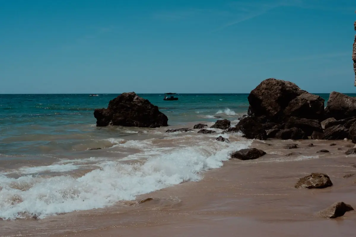
The Barlavento is the western half of the Algarve and concentrates the postcard scenery that makes the region famous: golden sandstone cliffs, sea caves and hidden coves. It includes the municipalities of Lagos, Portimão, Lagoa (in part), Vila do Bispo, Aljezur and Monchique. It's the area of the rock arches of Lagos, the caves of Benagil and the Atlantic waves of Sagres and the Costa Vicentina.
Lagos, Alvor and the cliff coast
Lagos (around 31,000 inhabitants, 63 km from Faro Airport) is the most sought-after base in the Barlavento, with Praia do Camilo, Praia de Dona Ana and Ponta da Piedade just minutes away. To the west, Burgau and Salema keep their fishing-village feel; to the east, Alvor (Portimão municipality, 57 km from Faro) is a fishing town with estuary and sea side by side. Anyone wanting to stay near these beaches can compare options in our guide on where to stay in Lagos and in the comparison Albufeira or Lagos.
Sagres, the Costa Vicentina and the Serra de Monchique
In the far southwest, Sagres (Vila do Bispo municipality, 87 km from Faro — the point furthest from the airport) marks the end of the land, with Cabo de São Vicente and the waves that make it a surf capital. To the north runs the wilder Costa Vicentina, with Aljezur and Odeceixe (85 km from Faro) and their river-and-sea beaches. Inland, Monchique (65 km from Faro) and Caldas de Monchique swap the beach for the serra, the thermal spas and the trails.
- Barlavento municipalities: Lagos, Portimão, Vila do Bispo, Aljezur, Monchique and part of Lagoa.
- Atmosphere: cliffs, caves, small coves and a cooler, more swelling sea.
- For whom: couples, photography, surf, boat trips and anyone who prefers dramatic scenery to endless sands.
- Distances to the airport: from 52 km (Portimão) to 87 km (Sagres) — count on more travel time from Faro.
The Barlavento makes up for the greater distance to the airport with the most scenic coast in the country. It's the strip to choose when the goal is the great cliff beaches and the boat trips, and where renting villas and apartments in Lagos and Alvor gives direct access to that scenery.
What is the Centro of the Algarve (Golden Triangle)?
The Centro is the tourist heart of the Algarve and covers the municipalities of Albufeira, Loulé, Lagoa and Silves. This is where the so-called Golden Triangle sits — Vilamoura, Quinta do Lago and Vale do Lobo —, the best-known luxury, golf and resort area in the region. The great advantage of this strip is its location: it sits in the middle of the map, which makes it the ideal base for day trips to both the Barlavento and the Sotavento.
Albufeira and Carvoeiro: beach and buzz
Albufeira (around 44,000 inhabitants, 26 km from the airport) is the busiest town in the Algarve, with beaches, a marina and the largest offering of dining and nightlife. To the west, in Lagoa municipality, Carvoeiro (44 km from Faro) and Ferragudo offer a quieter atmosphere and short access to Benagil. To choose an area within the town, the guide on where to stay in Albufeira separates the centre, the marina and Olhos de Água.
Vilamoura, Quarteira and the golf of Loulé
Vilamoura (Loulé municipality, just 15 km from the airport) is the most elegant marina in the Algarve and the gateway to golf, with Quinta do Lago, Vale do Lobo and Almancil (10 km from Faro) completing the Golden Triangle. Next door, Quarteira (13 km from Faro) keeps a more family-friendly, budget profile, with its long sands. Anyone after this world will find it detailed in the guide to the Golden Triangle and in golf in the Algarve.
The Centro is the safe bet for anyone wanting to stay close to everything: the airport 15–26 minutes away, beaches for every taste and the highest density of villas with a private pool in the region. It's also the strip with the largest supply of homes, which helps you find good value by booking ahead.
What is the Sotavento and why is it different?
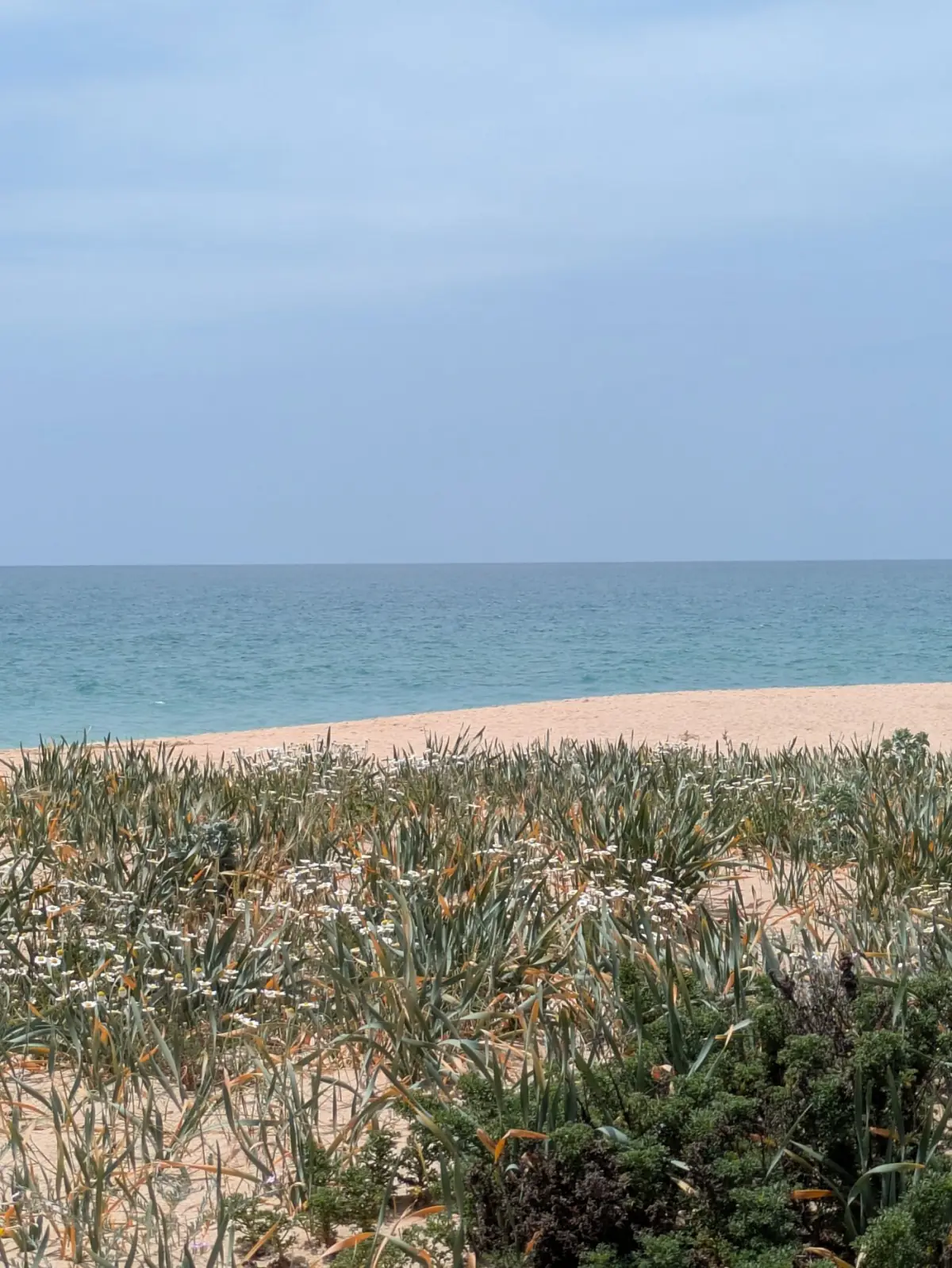
The Sotavento is the eastern half of the Algarve, from Faro to the border with Spain, and stands out for three traits: the warmest sea in the region (often 22–25 °C in summer), the wide, flat sands, and the lagoon system of the Ria Formosa, with its barrier islands. It covers the municipalities of Faro, Olhão, Tavira, Vila Real de Santo António and Castro Marim, and is the most authentic, peaceful side of the Algarve.
Tavira, Olhão and the Ria Formosa
Tavira (around 26,000 inhabitants, 31 km from the airport) is the prettiest riverside town in the Sotavento, with churches, cobblestones and a bridge over the Gilão river. Next door, Santa Luzia is the octopus capital and Cabanas de Tavira (35 km from Faro) faces the lagoon. Olhão (11 km from the airport) is the city of markets and the jumping-off point for the islands of Culatra and Armona. Anyone wanting this side will find it in the guide to the Sotavento of the Algarve and in Ria Formosa.
Monte Gordo and the Guadiana border
In the far east, Monte Gordo (Vila Real de Santo António municipality, 49 km from the airport) has one of the widest sands in the Algarve and very warm sea, ideal for families. Vila Real de Santo António, on the bank of the Guadiana river, is the gateway to Spain (Ayamonte is a short ferry crossing away), and Castro Marim guards the salt marsh and the castle. It's the area to choose when the goal is a holiday with children on calm-water beaches.
| Strip | Where it sits | Main municipalities | Trademark |
|---|---|---|---|
| Barlavento | West | Lagos, Portimão, Vila do Bispo, Aljezur, Monchique | Cliffs, caves and surf |
| Centro | Core of the region | Albufeira, Loulé, Lagoa, Silves | Golf, marinas and the Golden Triangle |
| Sotavento | East | Faro, Olhão, Tavira, VRSA, Castro Marim | Warm sea, sands and the Ria Formosa |
The Sotavento swaps the spectacle of the cliffs for the calm of the islands and the warm sea. It's the least crowded strip and the closest to the airport in the east (Olhão 11 km, Faro 3 km), which makes it practical for anyone landing and wanting to reach their home quickly.
What are the 14 municipalities of the Algarve on the map?
The 14 municipalities are the official administrative division of the Algarve and each corresponds to a council with its own seat. From west to east, along the coast, you find Vila do Bispo, Lagos, Portimão, Lagoa, Albufeira, Loulé, Faro, Olhão, Tavira, Vila Real de Santo António and Castro Marim; inland, Aljezur (to the northwest), Monchique (in the serra) and Silves (between serra and coast). Knowing the municipality helps you understand the supply of homes, because each one groups several towns and beaches.
| Municipality | Strip | Reference town/city | Distance to the airport |
|---|---|---|---|
| Faro | Sotavento | Faro (64,560 inhab.) | 3 km |
| Olhão | Sotavento | Olhão (45,396 inhab.) | 11 km |
| Loulé | Centro | Vilamoura · Almancil | 10–15 km |
| Albufeira | Centro | Albufeira (44,168 inhab.) | 26 km |
| Tavira | Sotavento | Tavira (26,167 inhab.) | 31 km |
| Silves | Centro | Silves · Armação de Pêra | 37–46 km |
| Lagoa | Centro | Carvoeiro · Ferragudo | 44–50 km |
| Vila R. de Sto. António | Sotavento | Monte Gordo · VRSA | 49–53 km |
| Castro Marim | Sotavento | Castro Marim | 52 km |
| Portimão | Barlavento | Portimão · Praia da Rocha · Alvor | 52–57 km |
| Lagos | Barlavento | Lagos (31,049 inhab.) · Luz | 63–72 km |
| Monchique | Barlavento (serra) | Monchique (6,045 inhab.) | 65 km |
| Aljezur | Barlavento (Costa Vicentina) | Aljezur · Odeceixe | 81–85 km |
| Vila do Bispo | Barlavento | Sagres | 87 km |
As the map shows, distances to Faro Airport vary widely: from 3 km in Faro to 87 km in Sagres. This difference is decisive for car hire and transfer time. Anyone landing and wanting to reach their home quickly benefits from bases in the Centro and the Sotavento; anyone choosing the Barlavento should count on a longer journey, detailed in our guide on how to get to and around the Algarve.
Where are the most famous beaches on the map of the Algarve?
The beaches with international fame are concentrated above all in the Barlavento and the Centro, in the cliff strip, while the Sotavento guards the wide sands and the islands. Praia da Marinha and Benagil are in Lagoa (Centro); Praia da Rocha in Portimão; Praia da Falésia between Albufeira and Vilamoura; and Praia da Ilha de Tavira in the Sotavento, reachable only by boat.
- Barlavento: Praia do Camilo, Dona Ana and Meia Praia (Lagos), Praia da Rocha (Portimão), Arrifana and Amado (Costa Vicentina, surf).
- Centro: Praia da Marinha, Benagil, Falésia and Galé.
- Golden Triangle: Ancão and Vale do Lobo.
- Sotavento: Ilha de Tavira and Monte Gordo, with warm sea and wide sand.
The practical rule is simple: first choose the beach that defines the trip and only then the nearest town. Anyone wanting cliffs and caves stays in the Barlavento or the Centro; anyone wanting warm sea and islands chooses the Sotavento. The most beautiful beaches in the Algarve are spread across the three strips, and the map is what links each one to a good base.
Which area of the Algarve should you choose for your trip?
The best area depends on what drives the trip, and the map makes the decision objective. For postcard beaches and boat trips, choose the Barlavento or the Centro (Lagos, Carvoeiro, Benagil). For golf, marinas and luxury, the Golden Triangle in the Centro (Vilamoura, Quinta do Lago, Vale do Lobo). For warm sea, quiet and families, the Sotavento (Tavira, Monte Gordo). And to stay close to everything, the Centro around Albufeira.
- Set the coastal strip by the kind of beach and sea you're after.
- Choose the municipality within that strip, looking at the distance to the airport.
- Pick the town by the atmosphere (lively, family, fishing) and the nearest beach.
- Filter the home by type and features — private pool, near the beach, for families.
To weigh up the two great alternatives on the map, the guide Barlavento vs Sotavento sums up the differences in sea, scenery and atmosphere. And for families, the guide to the best areas for families points out the most practical bases in each strip. Anyone who prefers not to be tied to a single area will find in the 7-day Algarve itinerary a way to cross the three strips with one or two bases. Once the area is decided, only the home is left — and that's where smart booking makes the difference to the budget.
Where to stay and how to book a home in each area of the Algarve?
In any of the three strips, the supply of holiday homes is vast — from studios and apartments to villas and houses with a private pool. In the Centro, Albufeira and Vilamoura gather the largest supply; in the Barlavento, Lagos stands out for its proximity to the cliff beaches. The choice of home type follows the group: couples and short stays in apartments, families and groups in houses and villas.
In Albufeira, in the heart of the Centro, it's worth looking at homes like the 1-bedroom apartment with pool in Albufeira or the 1-bedroom apartment in Albufeira of 60 m², practical for couples wanting a central base and quick access to the whole Algarve. For groups or large families who prefer the Barlavento, the 5-bedroom villa in Lagos, with 492 m², gives space and privacy minutes from the beaches of Lagos. These are real examples of what each strip offers, with features and availability that vary with the dates — confirm on each home's page.
Real-time availability and prices on Homing — book direct, cheaper than Booking, Airbnb and Hotels.com. Click «See dates and price».
Whichever area you choose, booking direct on Homing — our official partner — comes out cheaper than on Booking, Airbnb and Hotels.com, because there's no platform commission or hidden fees, and support is in Portuguese, English, French and Spanish. Before you close, run through our guide to booking direct and the checklist before booking, to make sure the right home, in the right area, also comes at the best price.
Sources and references
- Turismo do Algarve (Visit Algarve) — https://www.visitalgarve.pt/
- Wikipedia — Algarve — https://pt.wikipedia.org/wiki/Algarve
- Wikipedia — Ria Formosa — https://pt.wikipedia.org/wiki/Ria_Formosa
- ANA Aeroportos — Faro Airport — https://www.ana.pt/pt/fao/inicio
- ICNF — Protected areas — https://www.icnf.pt/
Original editorial article by Maré Algarve, based on official sources (Turismo do Algarve, ICNF, ABAE/Blue Flag, IPMA, INE) and on our experience of holiday rentals in the Algarve. Prices and availability vary — always check each property's page.